by Rafael
Contra Costa county has been left out of HSR plans so far, even though it has over a million residents. BART does serve both Richmond and the central part of the county, but traveling from Concord to San Francisco just to catch a train to LA is slow and inefficient. Martinez is on the Capitol Corridor line to Sacramento, but the station is not served by rapid transit within the central part of the county.
In addition, the county has long wanted BART to provide commuter rail to Pittsburg and Antioch. However, the Contra Costa line is already very long and the Pittsburg/Bay Point station little used during the day. BART is installing a crossover between Walnut Creek and Pleasant Hill so it can improve service into SF.
Moreover, hwy 4 doesn't have a median in Pittsburg proper, one reason why Bay Point was chosen as the end point of the line.
Correction: Caltrans has since moved the freeway lanes to create the missing median specifically for eBART. (h/t Winston)
To address congestion on the freeways all the way into SF, BART came up with the idea of eBART, a separate service to be based on standard gauge DMU equipment. The plan calls for fully grade separated, dedicated tracks to be built in the hwy 4 corridor on aerials where no median is available. Passengers would execute a cross-platform transfer to a regular BART trains at a point just east of Pittsburg/Bay Point. The line was originally supposed to go all the way to Byron, site of a general aviation airport Concord had hoped to move all the Buchanan Field traffic to so it could redevelop that real estate. The magnificent men in their flying machines rebelled and the eBART line was shortened to Antioch.
IMHO, this is an ugly cloodge. If you're only going to bite the bullet and build a dedicated dual-track alignment out to Antioch, you might as well forget about DMUs and stick with third rail. Just terminate a fraction of all eastbound trains in North Concord and be done with it.
However, there have been two recent developments that could make standard gauge eBART a good idea after all, albeit with a twist:
a) California voters approved prop 1A(2008) to build a statewide HSR network
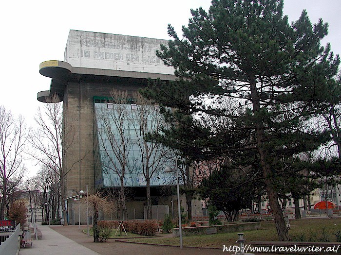
b) Concord recently assumed ownership of the 5,028-acre inland portion of the old Naval Weapons Station (NWS) and has begun the process of planning transit-oriented development there to re-use the facility. Removing the many bunker structures could prove difficult, in Vienna (Austria) city officials eventually discontinued efforts to dynamite the five remaining WW2 era anti-aircraft towers. One was converted into an aquarium.
Right now, no standard gauge rail station is planned even though the tracks for one are already there. Perhaps the locals don't want dirty diesel FRA-compliant behemoths in their near new district or perhaps, the US Army isn't prepared to permit additional passenger trains through the tidal area (Port Chicago), which it took over from the Navy.
If Concord were to change its mind, BART could decide to truncate its regular line at North Concord and use the already-present tail track there to turn trains around. After converting the existing tracks to standard gauge, eBART could exit the freeway median and dead-end in a new station at the western edge of the NWC, right next to the one for BART. So far, this doesn't make any sense at all: re-gauging is expensive and, instead of a cross-platform transfer from diesel to electric rolling stock, passengers would have to walk a short block between the platforms of the two stations.
However, since eBART remains unfunded anyhow, there is method to my madness:
By extending the tracks to south Stockton via the BNSF ROW and adding 25kV AC overhead catenaries, Contra Costa county would gain a valuable connection to the already-planned phase 2 HSR spur up to Sacramento. Getting up to Sacramento or down to SoCal would then become a snap, no long drives or BART rides to OAK or SFO required. The central and eastern parts of the county would still be a part of the Bay Area but also enjoy proximity to the rest of the state - maybe even Las Vegas one day. Note that commercial passenger service into Concord's Buchanan Field was terminated in 1992 in response to a noise ordinance, it is now only used for general aviation.
The western portion of this connector would be shared by eBART and HSR trains, with a suitable speed limit.
To make the connection happen, an aerial would have to be constructed in Oakley/Brentwood. My map shows an alignment along Lone Tree Way but that's just a suggestion. Running tracks above any city street in a semi-rural town is a sensitive topic in terms of environmental impact. Multiple alignment variations would need to be studied. The objective is to provide the missing link between the hwy 4/160 interchange and the BNSF ROW. In return for permitting this structure, eBART would terminate in Oakley instead of Antioch. This station would serve both Oakley and Brentwood.
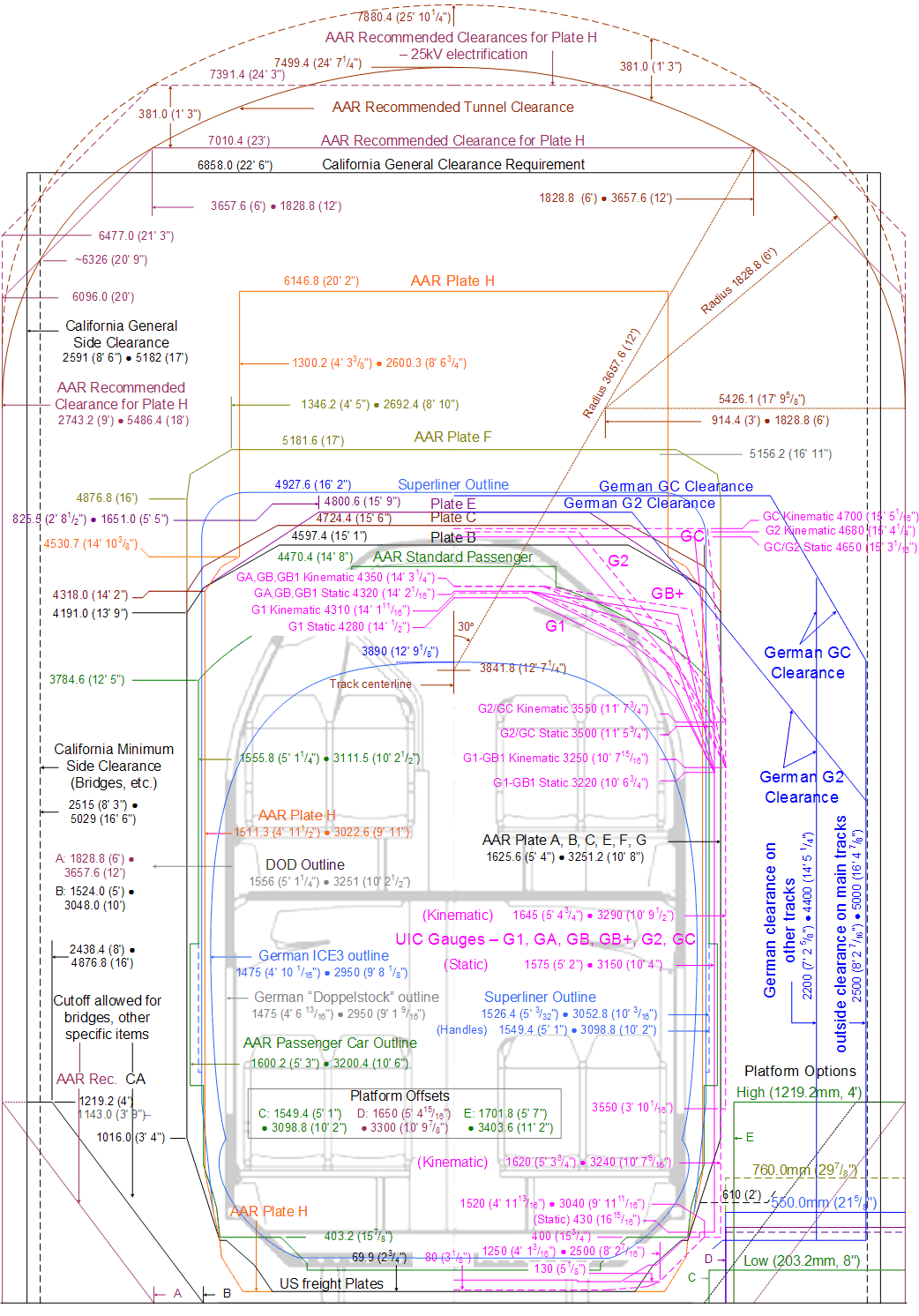
Instead of diesel multiple units, eBART would be based on non-compliant electric ones similar to those Caltrain intends to use. Both single-level and bi-level models are available from various vendors. However, support for bi-level rolling stock depends on the available vertical clearance in the short tunnel to the freeway median in North Concord. The gradient there is also critical, as HSR trains are limited to 3.5%. BART trains are even lighter per unit of length than HSR trains and, equipped with motors that permit larger gradients.
HSR trains trains would only stop in Antioch and North Concord, both stations would be built with full-length platforms. The best location for the Antioch station would be up to that city, I just picked A Street as a placeholder. Same for Oakley. The Pittsburg/Bay Point station would be retained for eBART service.
Note that the phase 2 spur up to Sacramento depends on UPRR ROW through Stockton and within the state capital. If CHSRA ends up partnering with BNSF between Bakersfield and south Stockton, getting to North Concord would just be a matter of keeping going across the flood plain. The wye on the map below would then look a little different. Who knows, with UPRR taking a hard line on its ROWs, North Concord could even be part of the HSR network before Sacramento is.
Note that BART could implement eBART as planned, but with elevation transitions that are already compatible with HSR: 3.5% maximum gradient, 6 mile vertical curve radius. That should not be a problem since the DMU equipment the current plans call for can't handle large gradients, either.
The truncation of the regular BART line plus re-gauging of the existing tracks would be deferred until HSR actually comes to the county. The objective now would be to avoid a design that would preclude that option just to cut a corner. The critical decision here is if the city of Concord wants to retain the option of constructing a standard gauge station for eBART/HSR station opposite North Concord BART at some point in the future. That option would still be easy enough to include in the urban plan right now, the station area could be designated as a park for now. That park would later be replaced by a publicly accessible green roof on top of the station building, which would also keep the platforms in the shade.
However, the location of the eBART/HSR station area and the design of the future building would need to take pedestrian traffic between the BART station and the new district into account. Having to climb over a tall building would be a barrier to mobility, so the platforms may well end up underground. HSR needs full-length (1/4mi) straight platforms and in this case, they would need to be as close as possible to the BART station. The eBART trains will be much shorter.
Side note: AnsaldoBreda, an Italian manufacturer of both transit and high speed rail vehicles, has an assembly plant in Pittsburg.
On the following map, the truncated regular BART line is shown in red, the new eBART/HSR line and station in blue, the inland portion of the NWS in yellow. Note that only the area near the BART station will be used for transit-oriented development. The eastern and southern sections will be open space preserves. Please see the reuse project website for details.
View HSR to North Concord in a larger map
Showing posts with label Antioch. Show all posts
Showing posts with label Antioch. Show all posts
Thursday, September 3, 2009
HSR to North Concord
NOTE: We've moved! Visit us at the California High Speed Rail Blog.


Subscribe to:
Posts (Atom)